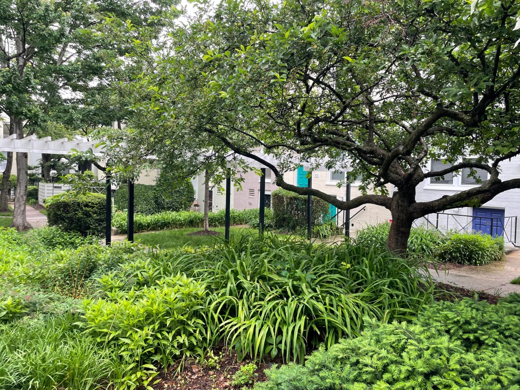
There’s a neat old housing development in my neighborhood where some of the homes (I never know if they are referred to as row homes or townhouses) are completely disconnected from surrounding car infrastructure (driveways, parking lots). They instead have front and back doors that face peaceful courtyards where the predominant sound is a steady stream of birdsong rather than the constant rattle of car noise from the interstate highway 700 feet away.
While taking a stroll along the community’s paths this morning, for some reason it prompted a thought from my years in grad school (which seems like a lifetime ago 🤯): I couldn’t recall if any of my land use classes included a discussion about streets as a land use. We talked about housing (alllll the types of housing…look up your zoning docs/land use map and try keeping track of all those R(esidential) codes!), retail, offices, industrial areas, etc. We talked about how land use is connected to transportation patterns and behaviors (which is important but not what I mean in this diatribe). But we didn’t talk about how so much of our city space is dedicated to our transportation infrastructure (mainly streets and their cousins parking spots/lots, driveways, drive-throughs, etc.) and what it means to ignore it as a “use.” Given how much of that space is *public*, it seems as though those who conceptualize land use as solely what type of buildings are allowed/located where are missing both understanding a crucial factor of how our communities function and a massive opportunity to rethink how we plan our neighborhoods.
What I do remember from that time is considering transpo (I’ll use the short-hand for it, welcome to the club 😎) as my specialization for a hot minute. I ultimately opted for land use and environmental planning because transpo seemed too quantitative for my tastes…and, if I’m being honest, gave off bro vibes 🤽♂️ (apologies in advance to water polo players…it was the most evocative emoji I could find). The one class I took that seemed to have some crossover with transportation planning focused on how many trips would be generated by a new development and plugging numbers into a model to pop out predictions that we plugged into a report about the impacts of building that structure in that location (absent the collective effects of any other structures being built in nearby locations 🤔). Phoning a friend in transpo: did your classes talk about land use with more complexity than that or were those discussions few and far between? Kinda seemed like other classes were just…more models, amiright? 🤷🏼♀️
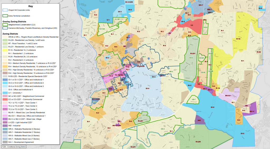
I suspect that any conversations about streets as land (use) reflected on the thinking Donald Shoup – the man, the mystery, the legend…I mean, his website is literally https://www.shoupdogg.com/ – has brought to the issue. He has been advocating for pricing parking to match market demand for decades, work that has inspired an exciting contemporary movement about parking reform. But thinking about parking or streets as land use forces a bigger question about “the highest and best use” (ignoring for a moment that most definitions of that term focus on economic productivity, but I’ve always thought of it *very* differently) for “property” that is largely just empty space all our tax dollars maintain for common (i.e., shared) use. Beyond merely pricing parking “appropriately” or eliminating parking requirements (which are both important pursuits), considering what else our streets or parking could be (not just getting rid of parking requirements, but maybe…getting rid of parking? Oh the horror! Until you see that many Japanese cities don’t have on-street parking and that it…is actually quite pleasant and rational) opens up a world of possibilities that folks who celebrate Park(ing) Day understand intuitively. Similarly, while it’s amazing that there are efforts to repurpose parking spots into parklets, community art installations, and street cafes every September, what would it look like for an entire profession to eliminate the barrier between transportation planning and land use planning such that streets and areas for parking cars were seen as land, and that their current uses were just that…current uses that could be changed? (For once, I’m going to give DC some kudos – their land use map designates transportation features as a land use…whether or not they treat it as such in practice is another matter 🙄)
I have some ideas myself but if you’re a planner, I invite you to get curious – what comes to mind when you imagine a peaceful transportation system where streets are treated as land, too? ✌️🚸

Leave a comment